Overview
Location:
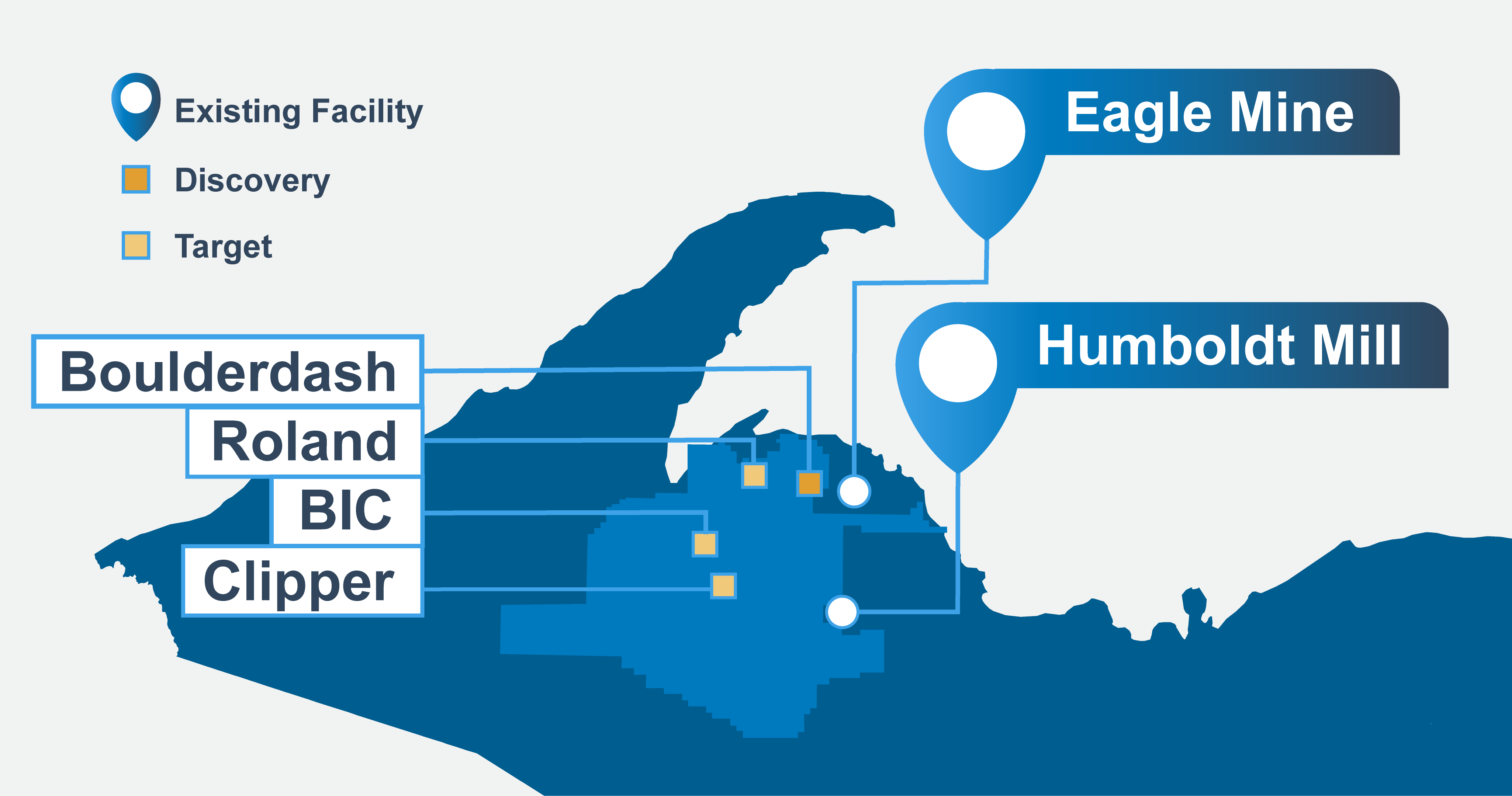
Western Marquette County, Michigan’s Upper Peninsula
Operation type:
Underground nickel-copper mine
Primary metals:
Nickel and copper
By-products/trace metals:
Cobalt, platinum, palladium, silver, and gold are recovered in small amounts from nickel and copper concentrates.
Mining methods:
Long-hole stope, cut-and-fill, drift-and-fill mining
Access:
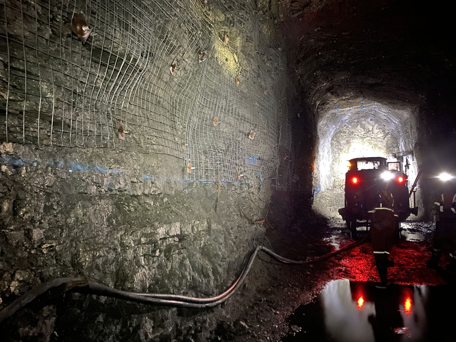
Mile-long underground decline tunnel
Surface footprint:
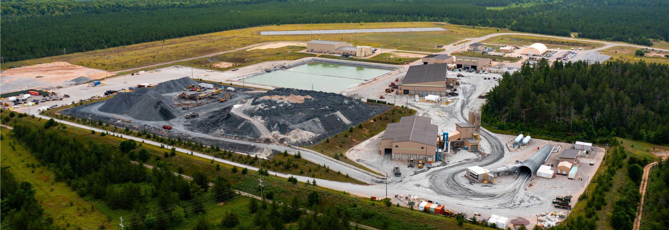
Approximately 130 acres
Regulatory framework:
Michigan Part 632 Non-Ferrous Metallic Mining Law; regulated by Michigan Department of Environment, Great Lakes, and Energy (EGLE) and the Mine Health and Safety Administration (MSHA).
Current ownership:
100% owned and operated by Talon Metals following the January 2026 acquisition from Lundin Mining.
How Mining Works at Eagle
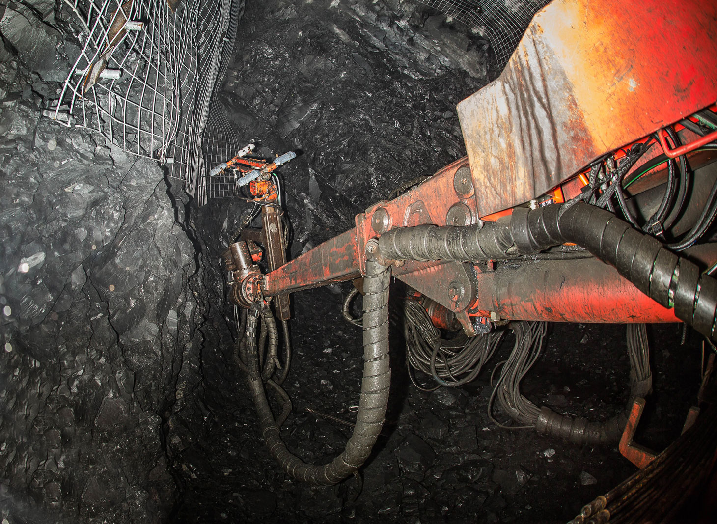
Ore is mined underground through a sequence of drilling, blasting, mucking, hauling, and backfilling. Drill holes are loaded with explosives, and blasts are initiated from the surface at the end of each mining shift. Once the ore has broken from the blast, underground equipment moves the material to haul trucks, which transport it to the surface.
Backfilling is an important part of the underground mining process. Low-profile haul trucks carry a mix of rock, aggregate, and concrete back underground to provide support for mined areas, allowing adjacent stopes to be mined safely.
Ore Transportation
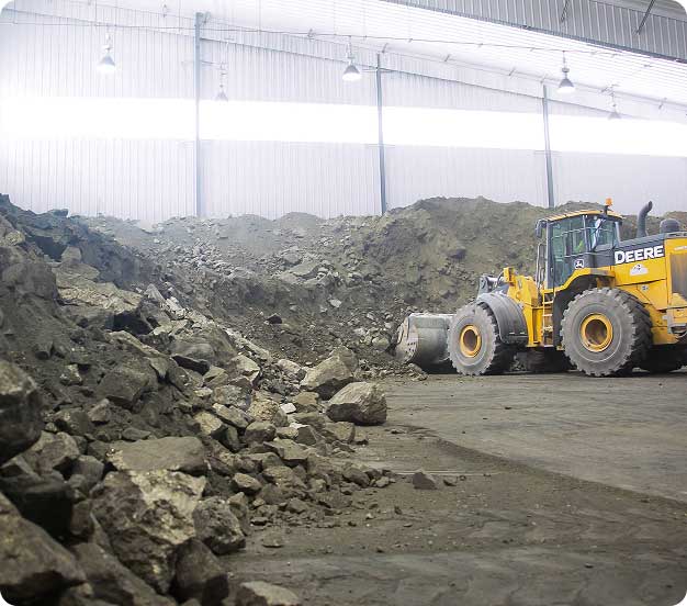
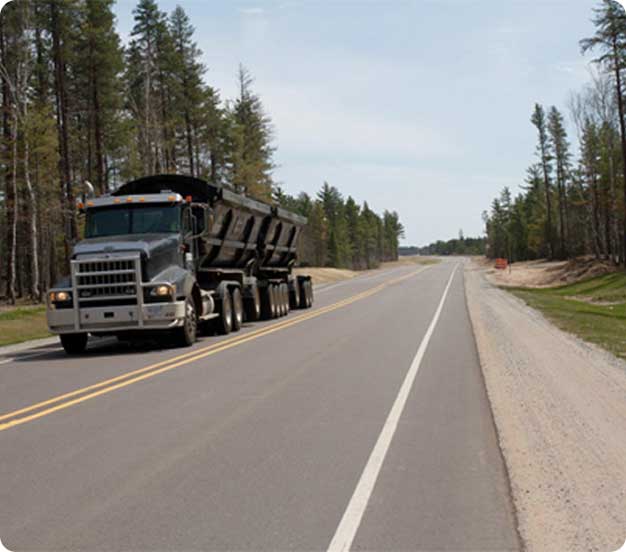
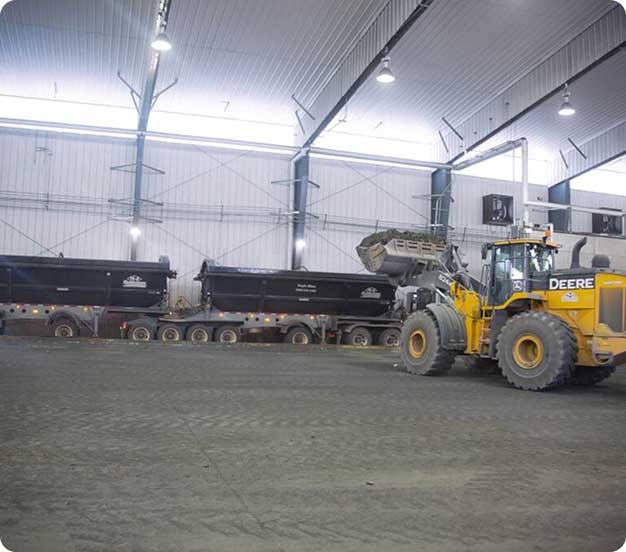
After ore reaches the surface, it is stored in the Coarse Ore Storage Area. A front-end loader fills covered road haul trucks with ore, averaging 18–24 inches in size. The trucks then pass through a truck wash before traveling approximately 60 miles to the Humboldt Mill.
Approximately 44 round trips are made per day between the mine and mill, with each load averaging 40–45 metric tons. The transportation plan uses existing public roads and includes monitoring of speed, location, and braking throughout the route.
Closure and Reclamation
Eagle Mine was designed with closure and reclamation in mind. When mining is complete, disturbed land is planned to be returned to a natural state using native vegetation to support wildlife habitat and compatible future land use. Development rock is planned to be returned underground as part of the reclamation process, and post-closure management and monitoring are planned for 20 years following surface reclamation.
Maps